GIS-Enabled UAV Surveys for Precision Mapping
We specialize in GIS-based surveys tailored for the precise mapping and collection of underground and aboveground assets, with a particular emphasis on pipeline infrastructure. Our approach harnesses cutting-edge technology to ensure comprehensive data collection, facilitating informed decision-making and effective asset management.
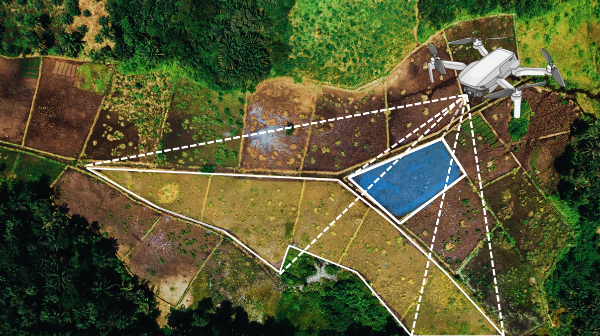
- LGEOM offers advanced UAV surveys integrated with GIS technology, delivering precise topographic data for accelerated project timelines.
- This includes Orthophoto Mapping, for land use planning and asset management, and Terrain and Elevation Mapping, producing 3D models ideal for construction and environmental management.
- High-resolution aerial photographs we provide accurately located visuals for various purposes, facilitating swift decision-making and efficient project execution.
© Copyright 2026 LGEOM. All Rights Reserved