Offline Navigation System

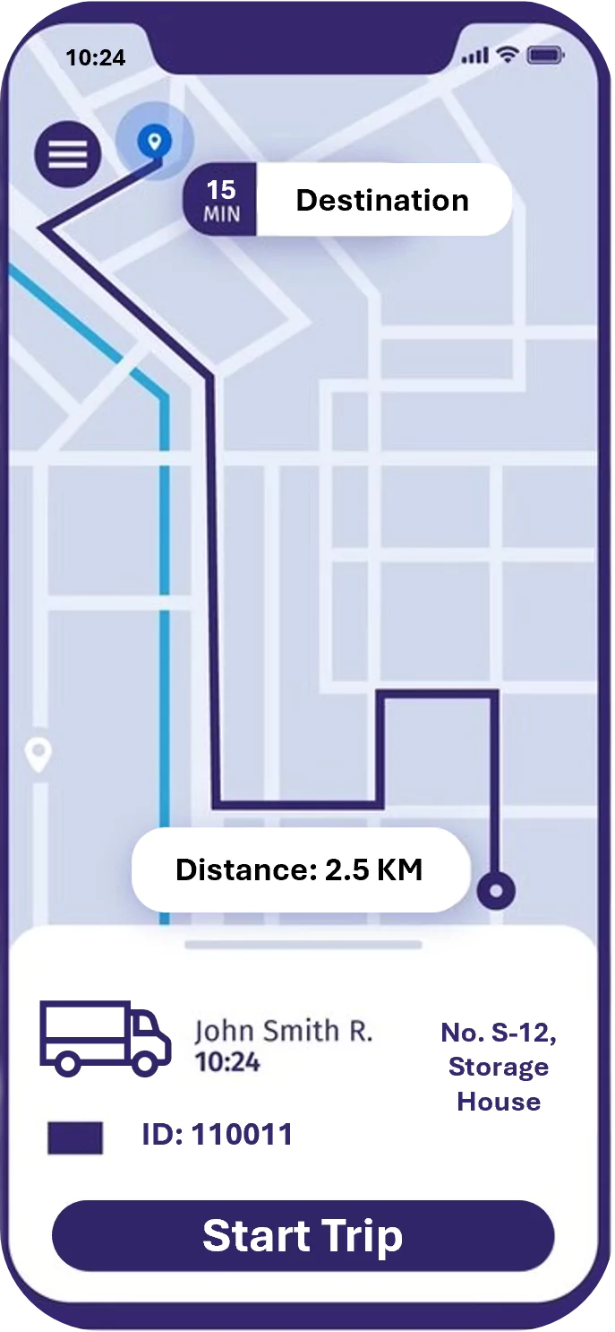
This user-friendly system simplifies navigation within gated communities. It provides optimized routes and vital information about gate locations and access protocols, ensuring a smooth and efficient experience for residents, visitors, and delivery personnel.

Turn-by-Turn Directions Navigation apps provide detailed, step-by-step directions to your destination, helping you find the quickest and most efficient route.

Offline Maps has Some navigation apps allow you to download maps for offline use, which can be especially handy when traveling in areas with poor or no internet connectivity

Real-time visibility and transparency for all stakeholders enable more accurate forecasts minimizing inventory levels and obsolescence

Early warning signals to enable project managers take corrective actions to achieve scheduled progress..

Real time analysis & identification of critical path activities for all stakeholders enable more accurate forecasts.

Business Efficiency For businesses with fleets of vehicles, navigation apps can help optimize routes, reduce fuel costs, and improve overall operational efficiency.

Potential Benefits

  • Real-time driver navigation to destinations
  • Eliminates confusion to the truck drivers
  • Optimizes the route for navigation
  • Ensures smooth process flow

ArcGIS empowers you to navigate with confidence, even without an internet connection. Download key areas for offline access, ensuring seamless navigation for field workers, delivery drivers, or outdoor adventurers.

Unbreakable Reliability:

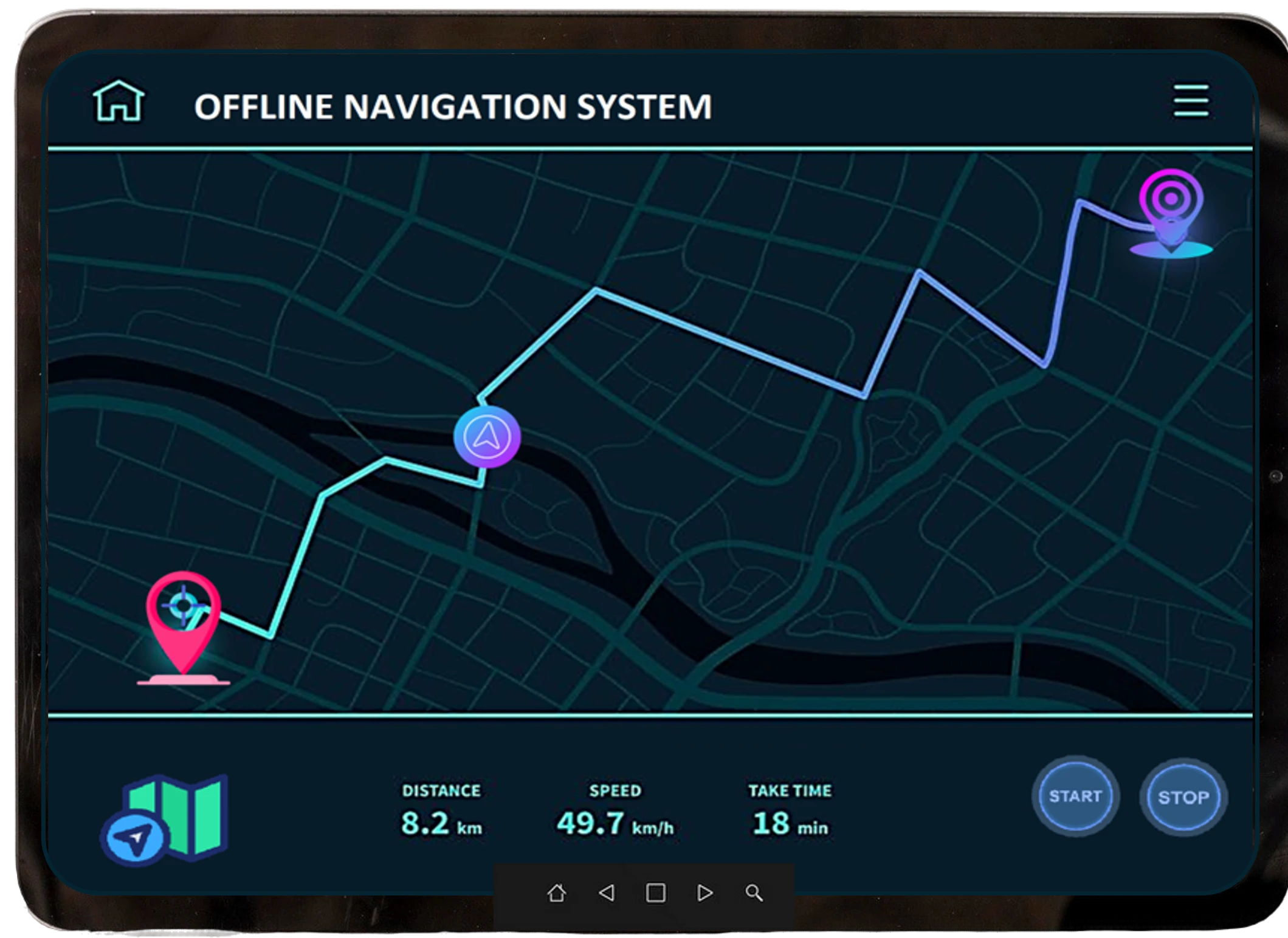
  • Offline Maps: Download specific regions for complete peace of mind. Access essential map data and functionalities anytime, anywhere.
  • Customizable Navigation (For Developers): Build tailored mobile apps using ArcGIS Maps SDKs. Craft the perfect navigation experience for your unique needs